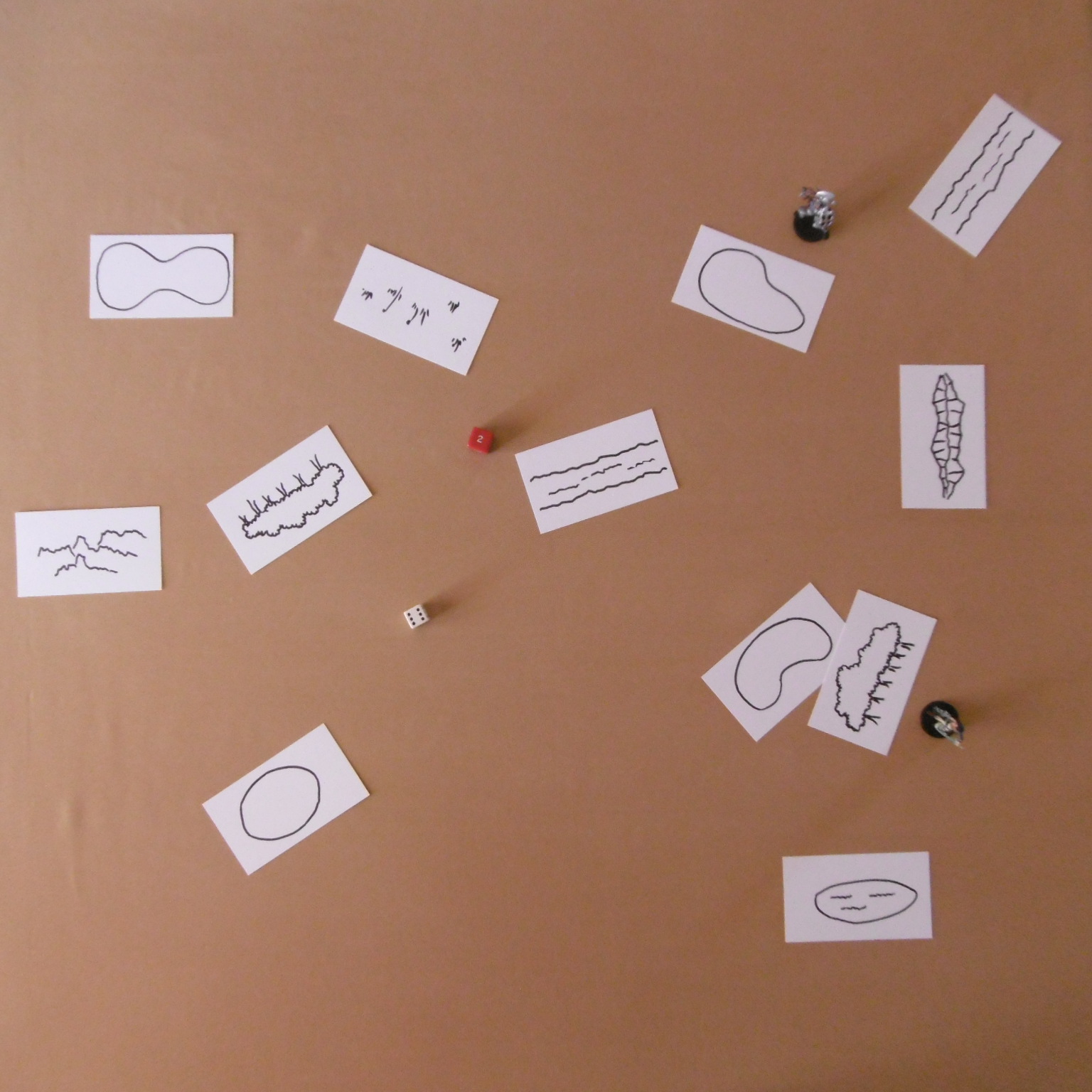
As the red dragon winged across a starry sky toward the citadel, Arkthark marched the goblinoid horde toward the northwest edge of the Ellriendi Forest. The Elding Regiment North Battalion awaited him.
Using the method outlined in Terrain Reconnaissance, the elven commander drew and placed four terrain cards—based on the difference in the contact dice—on the table in her first turn. Along with a few lucky draws afterward,1 she blocked Arkthark behind obstacles.
The hobgoblin commander had little choice. His orders were to push into the forest before dawn, when the human armies would take up the advance. The orders came from Hadewych the Arbiter, who worked for Anax Archontas. The red dragon brooked no excuse for failure.

In addition to unfavorable terrain, a two with no modifiers on the contact dice made Arkthark only aware of an elven force before him. He had no idea of its size or composition. The engagement would be fought in the 14th hour of the day, around eight o’clock in the evening. All that is determined from one opposed dice roll. See “Map Contact.”

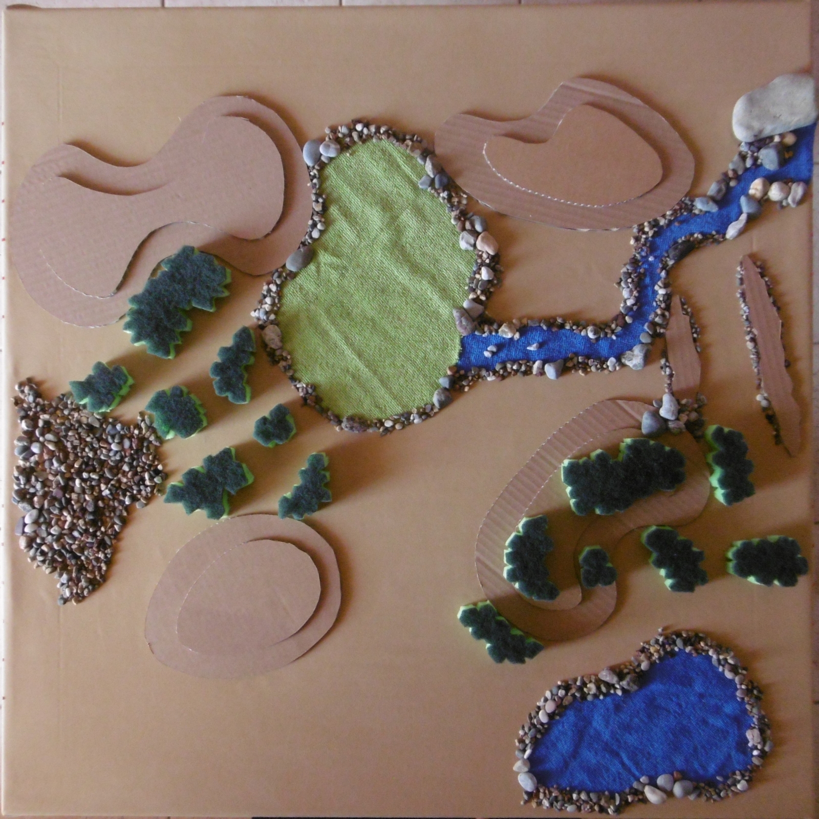
Replacing the cards with hand-crafted models gave us the terrain upon which the battle took place.
Hills are cardboard cutouts. Two layers indicate a ten-foot height, which slows movement over one inch per layer going up and obstructs lines of sight through the top layer.
The gully is shown by two strips of cardboard either side it. A gully is considered to be around six feet deep, hiding creatures moving along its length. To cross the width of a gully, a unit must halt on the near side and spend half its move rate to descend into the gully and, if it doesn’t move along it, another half to scramble up the other side.
Woods, clipped from kitchen sponges, are traversed by paths, which are considered wooded for purposes of movement, cover, and concealment, as is a one-inch border surrounding them.
Pebbles simulate a patch of rough ground.
River, pond, and marsh are scissored from cloth rags. The small pebbles lining the water are not rough ground. They only look nice and help to weigh down the cloth in case of a strong wind that blows through the apartment to keep a summertime wargamer cool.
Note the river (which I take for a stream) runs into but not out of the marsh. I suspect subterranean tunnels in the area—perhaps a dungeon.
Notes
1 I’m still experimenting with playing the whole deck of terrain cards. On my square table, two-thirds the scale size of a regular wargames table, the terrain appears crowded. I might reduce the number of terrain cards proportionally for future battles.